
Red Rock Canyon Hikes Near Las Vegas: Four Trails to Match Your Day |
An approachable trail guide with current BLM planning links and timed-entry reminders. |
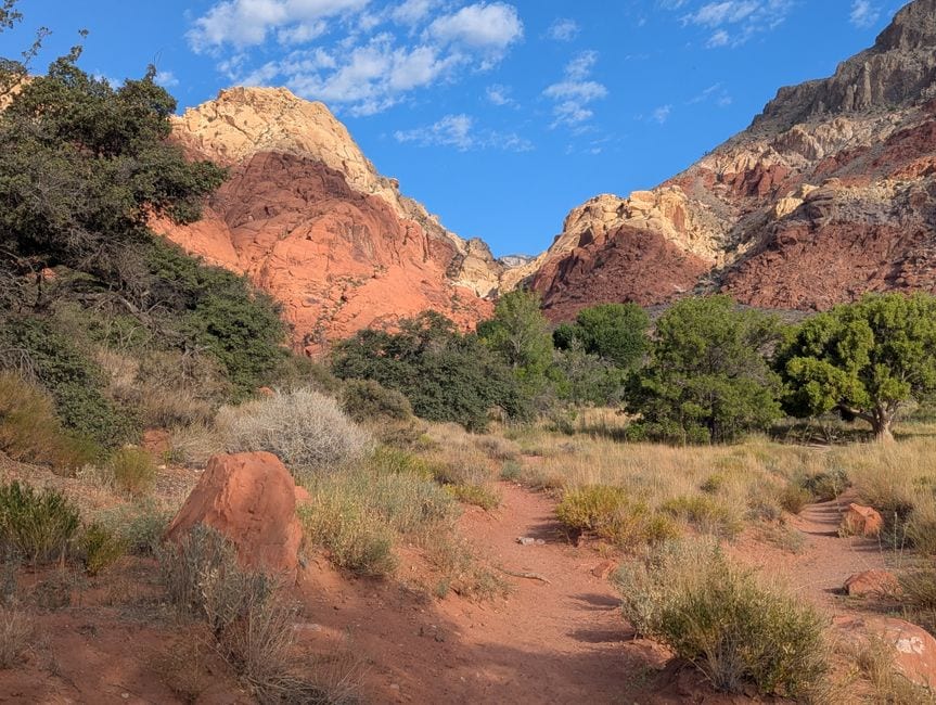
Some of the most memorable hikes in Red Rock Canyon, Nevada begin a short drive west of Summerlin. The right trail depends on your time, comfort on uneven ground, and whether you want a gentle nature walk or a scramble. The Bureau of Land Management’s 2026 visitor guide is the best companion for distances and trail maps.
For a short family outing: Lost Creek
Lost Creek Children’s Discovery Trail is the easy introduction. The BLM lists it as a 0.8-mile route with interpretive stops. It makes sense for a shorter visit or a group with mixed energy levels. The route still crosses desert ground, so closed shoes and water remain useful even when the mileage looks small.
If a young hiker mainly wants to see the landscape without committing to a long climb, start here. Check the BLM’s planning page for current access and family suggestions. “Easy” describes the trail relative to other options; it does not erase the desert sun.
For a moderate canyon walk: Pine Creek
Pine Creek Canyon offers a longer look at the canyon’s changing vegetation and rock walls. The current BLM guide puts the trail at about 2.4 miles round trip and rates it moderate. Allow extra time for photographs and rougher sections, and do not treat a map distance as a guarantee of how long your party will take.
Stay on marked routes and turn around if conditions or energy change. This is a useful middle ground for visitors who want more than an overlook but do not want the steeper movement of Calico Tanks. Trail conditions can change after weather, so check the BLM alerts before leaving. |
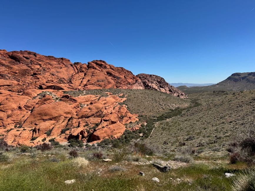 Photo by Petra Nesti on Pexels |
For a scramble: Calico Tanks
The BLM’s guide lists Calico Tanks at roughly 2.2 miles round trip with a moderate rating, but the route involves rock scrambling. That distinction matters if someone in your group dislikes using hands for balance or has limited mobility. The sandstone scenery rewards a slower pace and attention to the route.
Do not judge this trail by mileage alone. A two-mile walk on a smooth path feels different from two miles on rock. Bring more water than you think a short outing needs and avoid pushing into heat, storms, or fading daylight just to reach the end.
For an easier loop: Willow Spring
The Willow Spring area has shorter options; the BLM recreation information describes a Willow Springs Loop at about 1.1 miles and rates it easy. Review the current map for the exact route you intend to take. The spring area can also be a good place to slow down and notice the desert’s quieter details.
Before you drive
Red Rock’s Scenic Drive requires timed-entry reservations during the October 1–May 31 season for entry between 8 a.m. and 5 p.m. Book through the BLM-linked Recreation.gov timed-entry page and confirm the latest fees and operating hours. Rules may differ for areas outside the Scenic Drive.
Pack water, sun protection, a charged phone, and shoes suited to the specific route. The BLM recreation page and current visitor guide should be your final check for trail access, closures, and distance. Pick the hike that fits your group today; the canyon will still be there for a longer route another time.
If your route requires the Scenic Drive, reserve the vehicle entry window before making a trail plan with friends. |

Oct 1, 2026
Downtown Summerlin Events in October 2026: Art, Halloween and More
What to put on your calendar this month, with official details and a simple planning route.

Oct 1, 2026
Mexican Restaurants in Summerlin: Where to Go for a Casual Bite or a Night Out
A practical guide to Mexican dining around Downtown Summerlin and the west valley.

Oct 1, 2026
Free Municipal Gym Workout Lands at Downtown Summerlin Oct. 20
A one-hour outdoor session on The Lawn previews a coming wellness brand

Oct 1, 2026
Free Latin Fusion Concert Hits Centennial Hills Oct. 3
Suika T & Band brings an eight-piece outdoor show to the northwest Valley
4 Comments
Join the conversation
The Scenic Drive reservation requirement is easy to overlook. The linked Recreation.gov page is the place to check a date before heading out.
Desert heat can sneak up on hikers even outside summer. The water and sun-protection reminder is useful for every trail on this list.
A moderate rating can feel different on uneven ground, especially for hikers with knee concerns. What is the roughest part of Pine Creek?
Lost Creek’s shorter route looks like a good family starting point. Water and sun protection still matter, even for a short hike.